
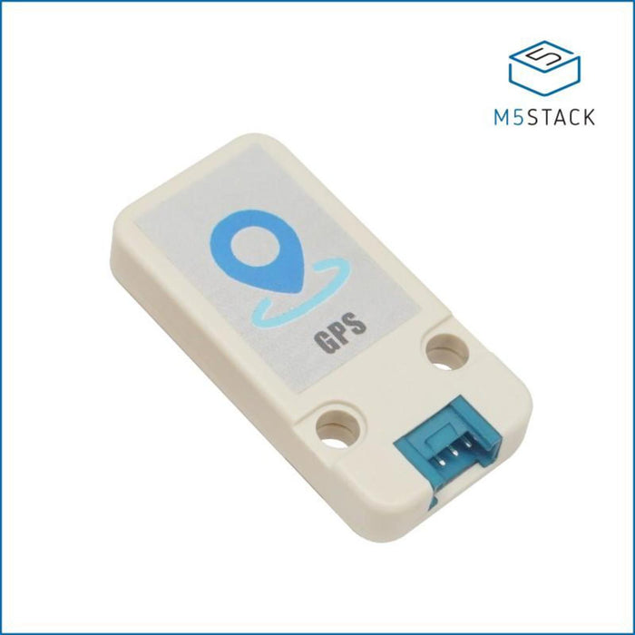
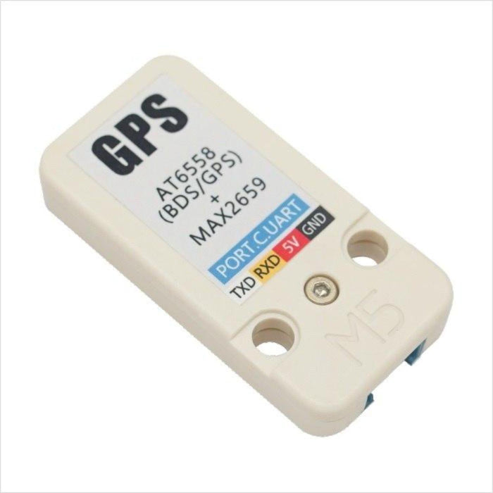
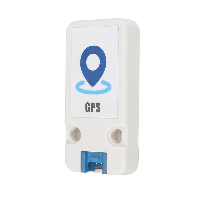
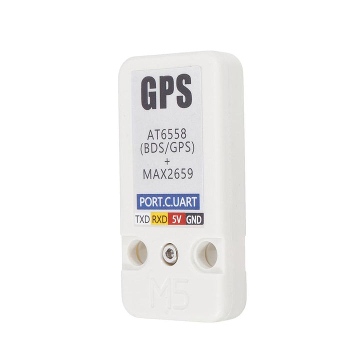
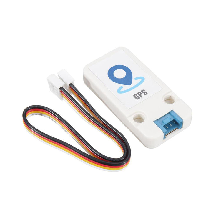
Mini GPS/BDS Unit (AT6558)
Description
This is the M5Unit version of GPS, integrates a Zhongke Weibeidou navigation chip AT6558 and a amplification chip MAX2659 used for amplifying antenna signal.
AT6558 is highly performance, supports many types of satellite navigation system,able to receive satellite signals on 56 channels GNSS signal from 6 satellite navigation system, joint location, navigation, timing and more. The module is able to obtain accurate global location information. quick and accurate positioning for anywhere in the city, in the canyon, under the overhead, and inside the car.
The module can be widely used in vehicle monitoring, bus reporting, car navigation, onboard navigation, notebook navigation and other products.
You can plug it into port C on M5core via GROVE cable, which is a standard UART interface.
UART settings :
- Baudrate(default: 9600bps)
- Start bits(1 bit)
- Stop bits(1 bit)
- Parity(no)
Product Features
- Functional specification
- Positioning accuracy: 2.5 meters (CEP50, open space)
- Channel: 56
- Support single system positioning of BDS/GPS/GLONASS satellite navigation systems, or multi-system joint positioning in any combination
- Support D-GNSS differential positioning
- Positioning update frequency: 1-10Hz
- Maximum height: 1800 m
- Maximum speed: 515 m/s
- Maximum acceleration: <= 4 G
- Low power consumption
- BDS/GPS dual mode continuous operation: <23mA (@3.3V)
- Standby: <10uA (@3.3V)
- Sensitivity
- Tracking: -162dBm
- Capture: -148dBm
- Cold start: -146dBm
- Start Time
- Cold start: 35 seconds
- Warm start: 32 seconds
- Hot start: 1 second
- Operating temperature: -40~85°C
- Two Lego-compatible holes
Kit includes
- 1x GPS Unit
- 1x Grove Cable
Application
- Car, ship positioning and navigation
- Smart law enforcement positioning
Documents
Learn
Example
Arduino IDE
To get the complete code GPSRaw.ino, please click here.
#include <M5Stack.h> /* By default, GPS is connected with M5Core through UART2 */ HardwareSerial GPSRaw(2); void setup() { M5.begin(); GPSRaw.begin(9600);// GPS init Serial.println("hello"); termInit(); } void loop() { // put your main code here, to run repeatedly: if(Serial.available()) { int ch = Serial.read(); GPSRaw.write(ch); } if(GPSRaw.available()) { int ch = GPSRaw.read();// read GPS information Serial.write(ch); termPutchar(ch); } } Once you download the example code GPSRaw.ino, when device start, following information will print by uart, you can either display with M5 core screen or PC.
$GNGGA,063012.000,2234.87140,N,11357.22414,E,1,06,4.2,7.3,M,0.0,M,,*7D $GNGLL,2234.87140,N,11357.22414,E,063012.000,A,A*4C $GPGSA,A,3,01,09,11,18,23,,,,,,,,6.3,4.2,4.7*32 $BDGSA,A,3,13,,,,,,,,,,,,6.3,4.2,4.7*21 $GPGSV,3,1,10,01,54,164,33,04,,,22,08,46,019,,09,23,230,24*40 $GPGSV,3,2,10,11,81,200,12,18,65,110,26,23,14,195,25,27,18,041,*78 $GPGSV,3,3,10,28,10,300,15,30,33,319,*7C $BDGSV,1,1,01,13,43,195,29*5A $GNRMC,063012.000,A,2234.87140,N,11357.22414,E,0.69,171.74,240419,,,A*7A $GNVTG,171.74,T,,M,0.69,N,1.27,K,A*2C $GNZDA,063012.000,24,04,2019,00,00*46 $GPTXT,01,01,01,ANTENNA OPEN*25 Analysis:
$GNRMC,063012.000,A,2234.87140,N,11357.22414,E,0.69,171.74,240419,,,A*7A
Indicates that the positioning information is: UTC time is 06:30:12, north latitude 22.58119°, east longitude 113.95357°,April 24, 2019


More information
Schematic

PinMap
M5Core(GROVE C) U2RXD(GPIO16) U2TXD(GPIO17) 5V GND GPS Unit Signal Transmitter (TXD) Signal Receiver (RXD) 5V GNDThe Mini GPS/BDS Unit (AT6558) appears in the following collections: